Laerdal
Laerdal is a community, named after the valley it is located in, streching from Sognefjorden to Oppland. The community center is located in Lærdalsøyri, where these set of photographs are taken. The community is by area relatively large, 1342 square kilometers and has a population on of 2200, of which 1200 are living in Lærdalsøyri.

Laerdal has since ages been an important center of communications as there are visible signs of 5 generations of roads towards Oslo. This has remained today as in 2000 the longest road tunnel in the world was opened, the 24.5 kilometer long Laerdaltunneln, which was the last link of connecting the major cities in Norway with a road link undepended by ferries over the fjords. Before the tunnel much of the road traffic was headed to ferry to Aurland or to rely on the narrow and steep Aurland Road over the mountains
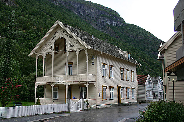
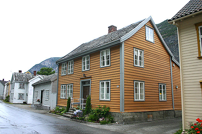
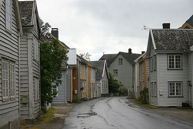
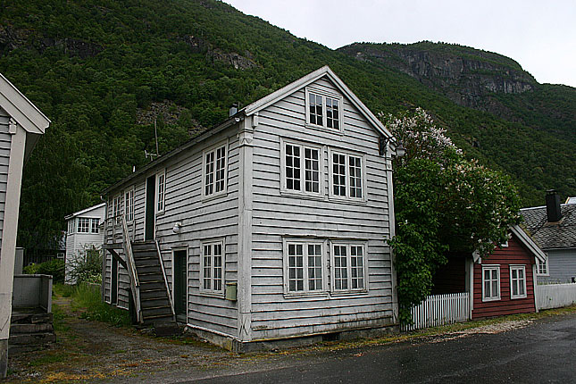
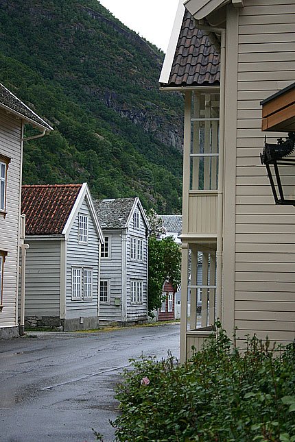
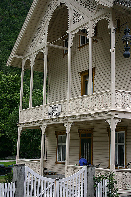
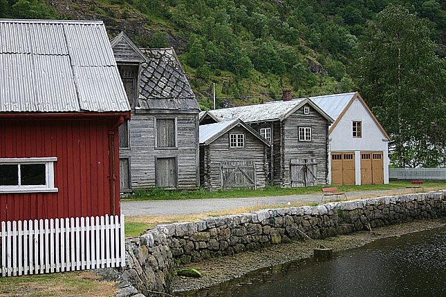
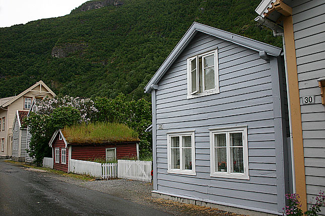
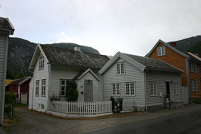
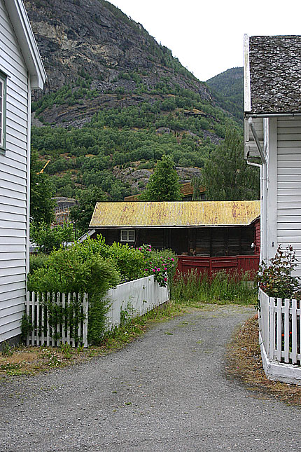
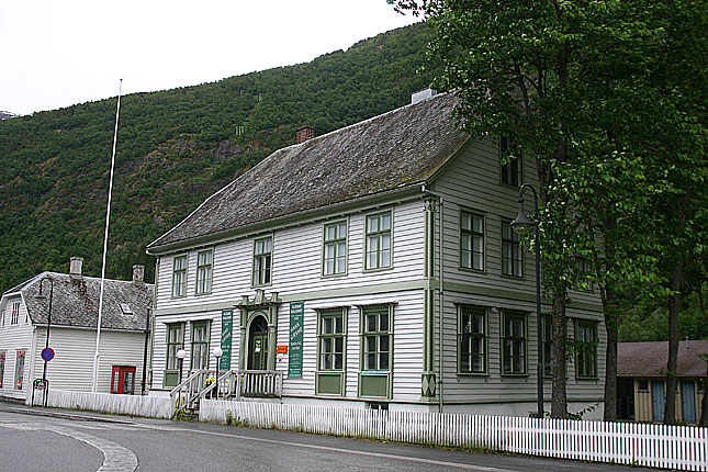
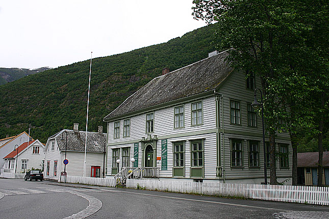
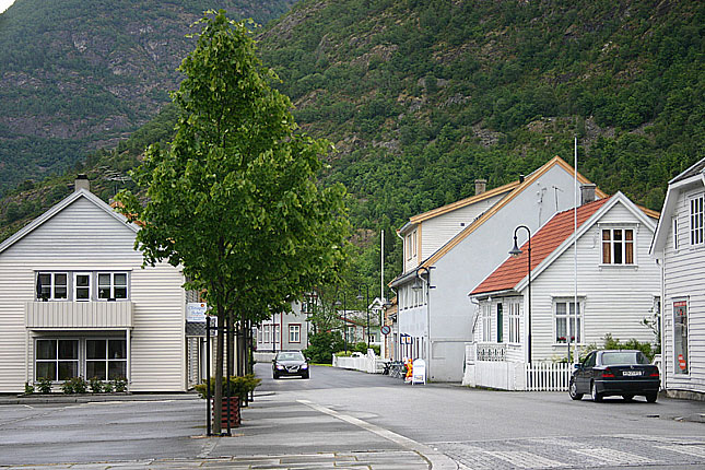
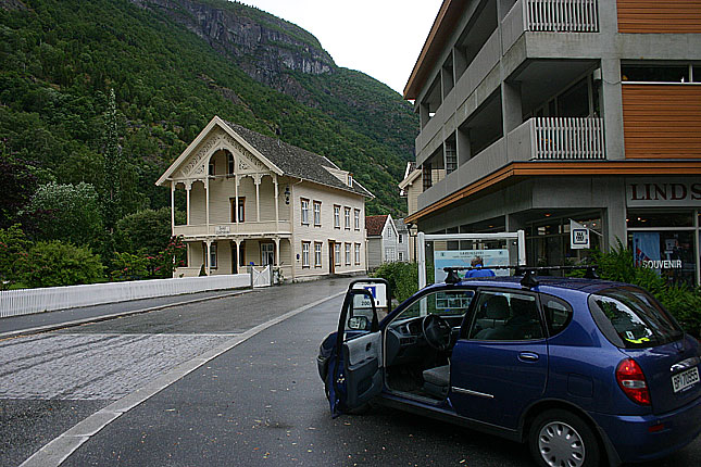
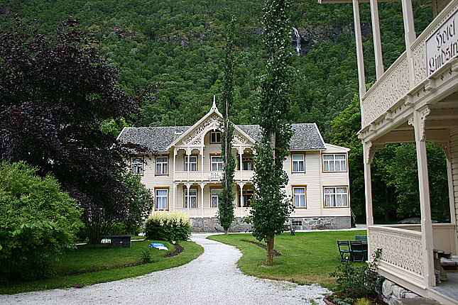
Laerdal is rich on anchient remainings of settlements. There has been remains of settlements dating back to year 4000 b.c. and the valley is rich on stave churches of which the most famous in the Borgrund (see more in E16 section). The Old Lærdalsøyri with its wooden houses dating back to 18th and 19th century is under UNESCO preservation plan and is consisted by 161 wooden buildings.
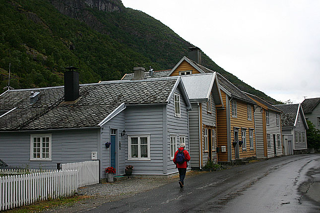
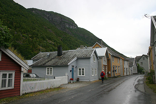
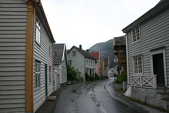
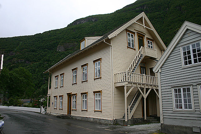
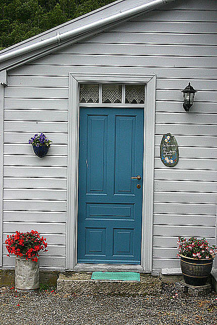
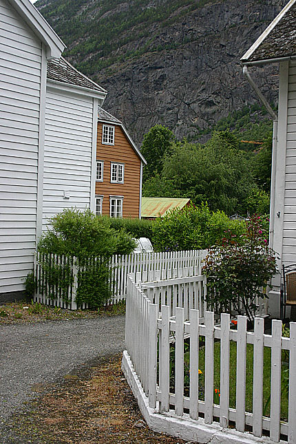
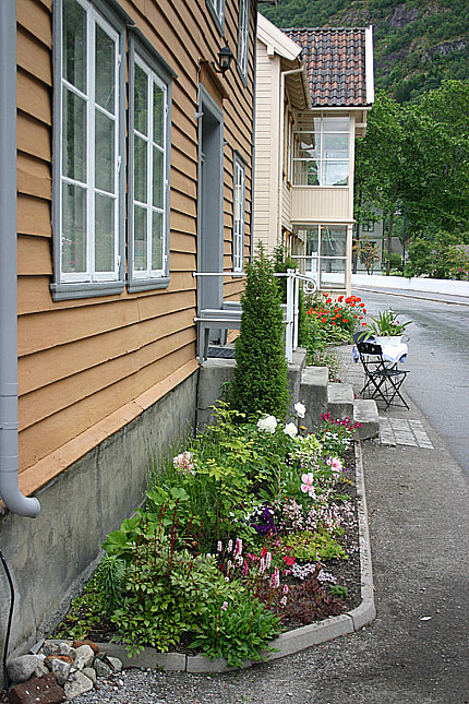
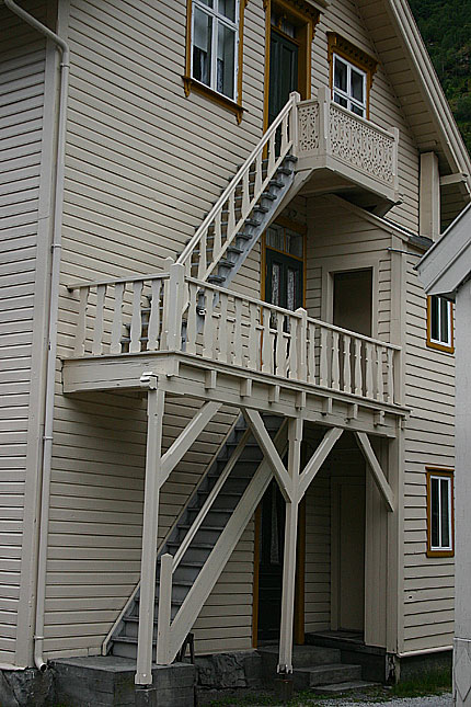
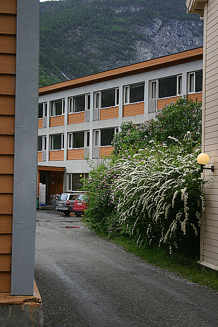
A stop in Laerdal is highly recomended and especially the Old Lærdalsøyri. It is really nice to stroll around with a camera and inmagine how life was like in old days. It houses cafés, hotels and various stores, framed by the cliffs around them.
(Laerdal photo page)
(Along E16 to Laerdal) (The Aurland Road) (Flåm)