Rondane

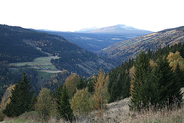
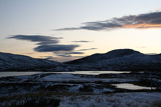
Photos here are from a road trip I took in early October 2009 along the very scenic highway (Riksvei) 27 from Ringebu at Gudbrandddalen to Folldal some 30 kilometers east of the summit of Dovrefjell at Hjerrkinn. The photos are shown here on cronologigal order. As you can see it was allready a change of the seasons in the high mountain plains. Even in the summer the weather can suprise you with a little snow, so while driving in these areas, don't be in a hurry and take your time.

(Peer Gynt)
The park was extended in 2003, and now covers an area of 963 km2 (372 sq mi) in the counties Oppland and Hedmark. Rondane lies just to the east of Gudbrandsdal and two other mountain areas, Dovre and Jotunheimen are nearby.


Rondane is a typical high mountain area, with large plateaus and a total of ten peaks above 2,000 m (6,560 ft). The highest point is Rondeslottet ("The Rondane Castle") at an altitude of 2,178 m (7,146 ft). The lowest point is just below the tree line, which is approximately 1,000 to 1,100 m (about 3,300 to 3,600 ft) above sea level.


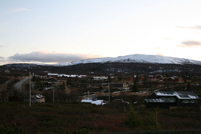
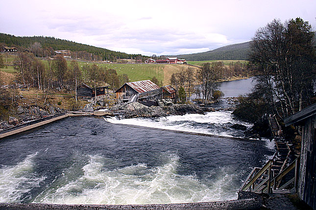
Atnbrua
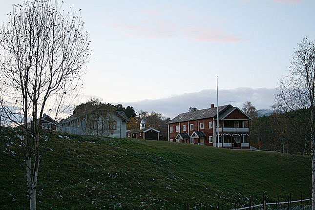
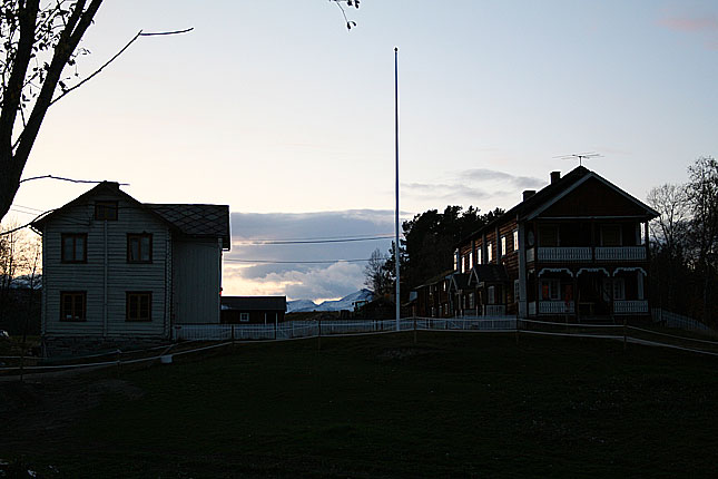

Right after decending down from he mountain plains and getting closer to the mountains of Rondarne is the location of the tiny village of Atnbrua. It has received its name as a river crossing over the river Atna and is also a sit of a small works, and a mansion close to it.
I guess that the mansion which offers a view towards the peaks is some sort of tourist lodging and the dam and the works is a museum. It is worth a stop before entering to high mountain area.
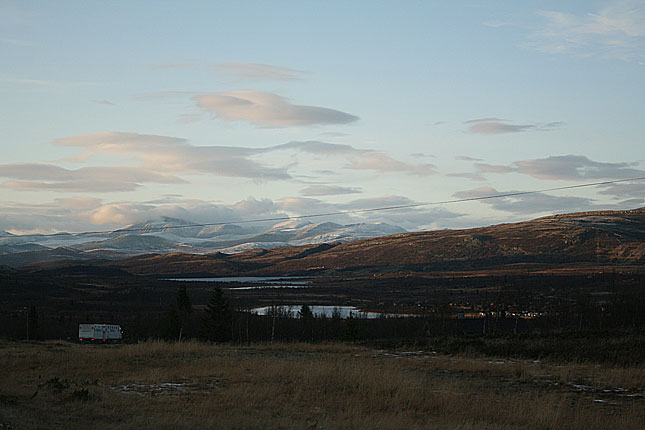
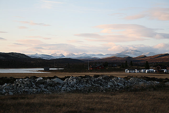
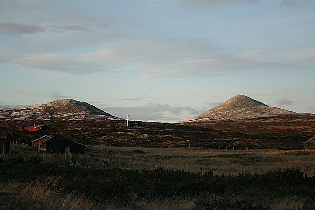
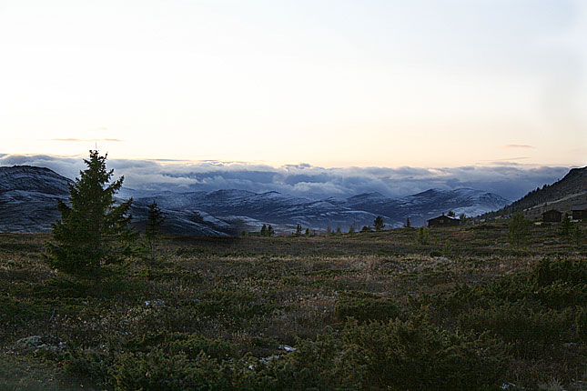
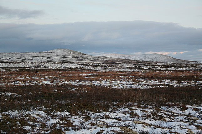
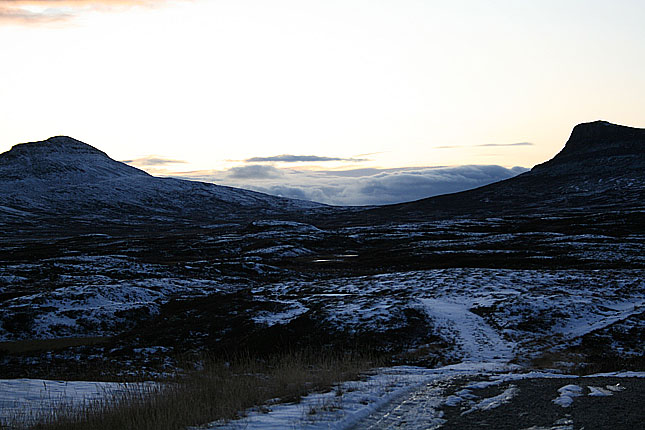
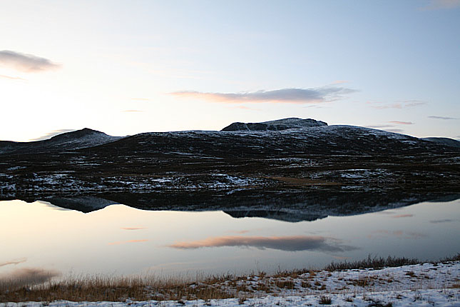
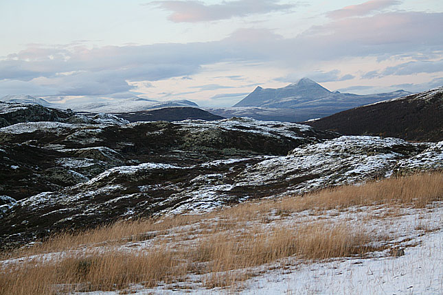
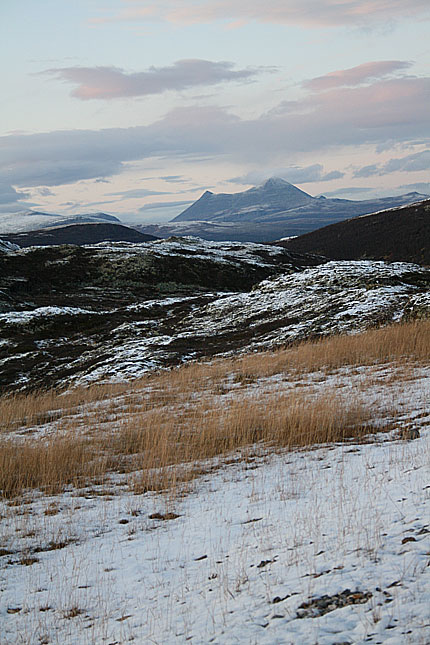
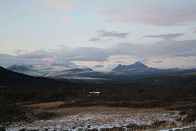
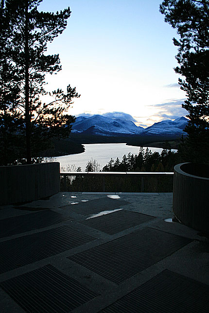
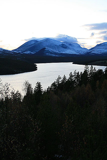
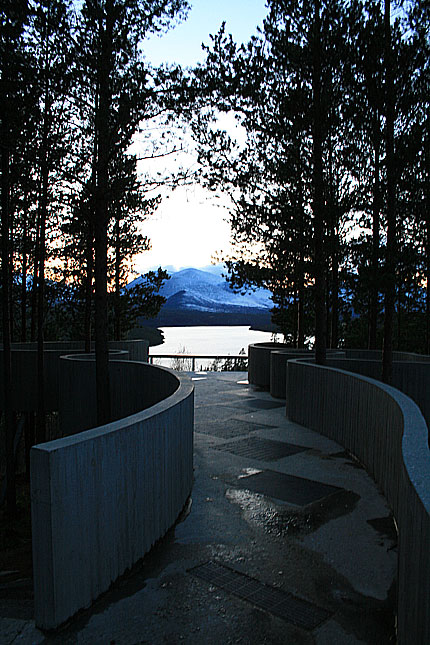
The peaks
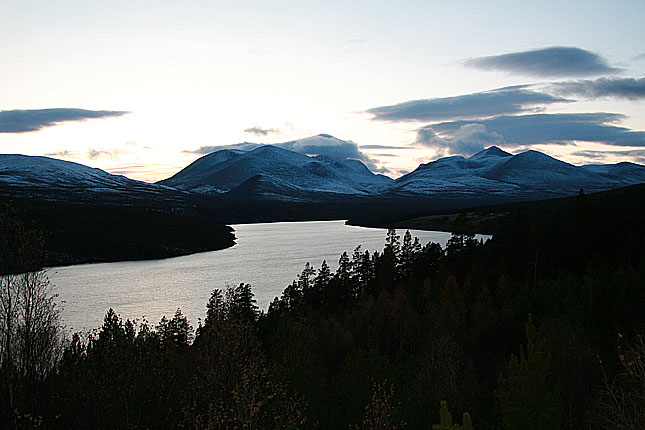
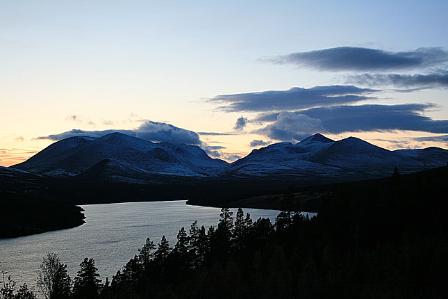
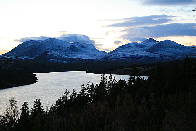
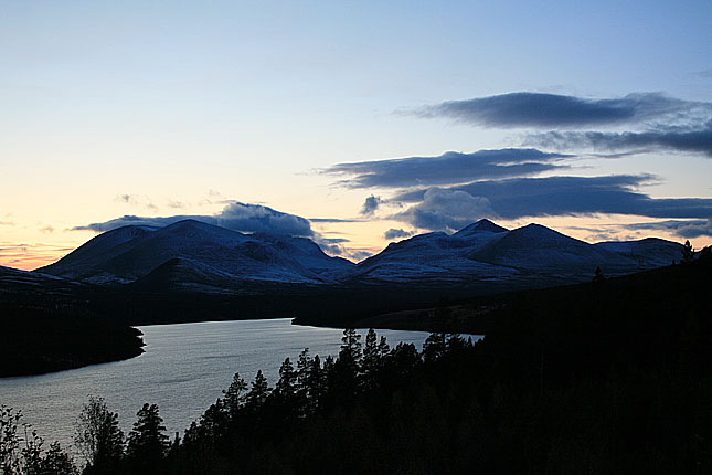
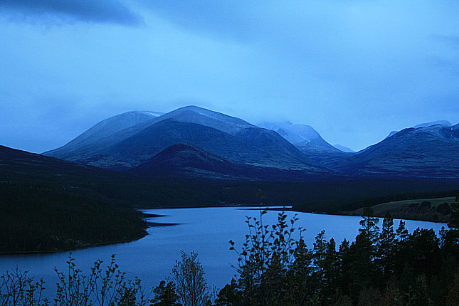
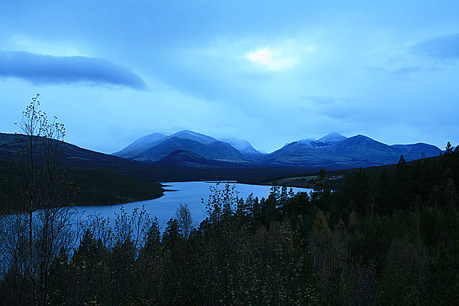
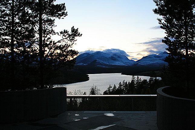

I have driven partly the road several times. But I have taken the route from th west to easst and missed much of the sights. And besides I have taken the road from Alnbrua to the North South highway at Atna. This time around i chose to drive the route the other way, but mostly it was too dark to take any decent photos. I guess you do get spouiled by air condition in a car and it is not that inviting to step out set a tripod in freezing cold wind. Not after a long drive. But I decided to drive the entire road the following day after a stop at the detour in Lillehammer and Hamar. Lot of time was spent on shooting the photos of the vistas seen on the highway 27, but I managed to get these sunset photos.... The darker shots are from the night before, using retaining wall as a surface to shoot the photos.
(To Dovrefjell) (To Hövringen) (To Gudbrandalen)